01CATCHMENT BOUNDARY
The exact line your council draws.
GeoJSON polygons published by every Scottish local authority. Cross-checked quarterly.
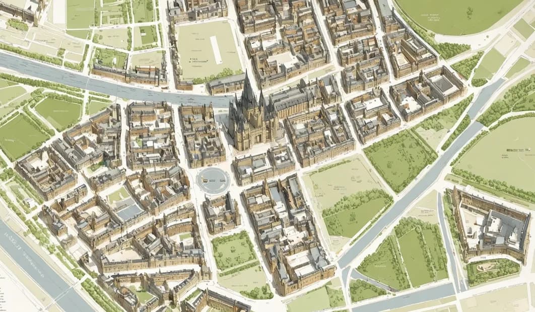
EH8 8DX · CITY OF EDINBURGH
Type a postcode and the map fills with every school that wants your child: the one whose catchment your address sits inside, plus the ones just over the line.
One pin. The exact spot the boundary actually cares about.
Drawn straight from the Spatial Hub. Not a 2018 PDF.
Numbered, ranked by distance from you, never hidden.
SCHOOL CATCH EXPLORE · EDINBURGH · LIVE AT SCHOOLCATCH.CO.SCOT
Open the explorerEvery state school in Scotland, mapped against the catchment polygon its council actually publishes.
Catchment tells you which classroom your child walks into. We tell you what happens inside it: the roll, the rating, the routes home.
GeoJSON polygons published by every Scottish local authority. Cross-checked quarterly.
The basics, stated plainly. No marketing language, no ambiguity.
Pulled from Scottish Government school census. Five-year history per school.
Four dimensions, four ratings, linked to the original HMIE report.
Bus services that call within five minutes' walk. Trains. Cycle routes.
We don't trap you in the app. The links you'd Google next are right there.
Drop it once. Buyers see which schools a property sits inside before they pick up the phone.
3-bed terraced · EH8 8DX
£465,000 · Offers over
Parents check eligibility against your actual catchment before they email the office. Yours, branded, embeddable.
One postcode. Every Scottish school it sits inside. The map you wished you'd had three years ago.